SEE THE WORLD FROM A DIFFERENT PERSPECTIVE… BECAUSE FROM ABOVE,
EVERYTHING LOOKS BETTER!
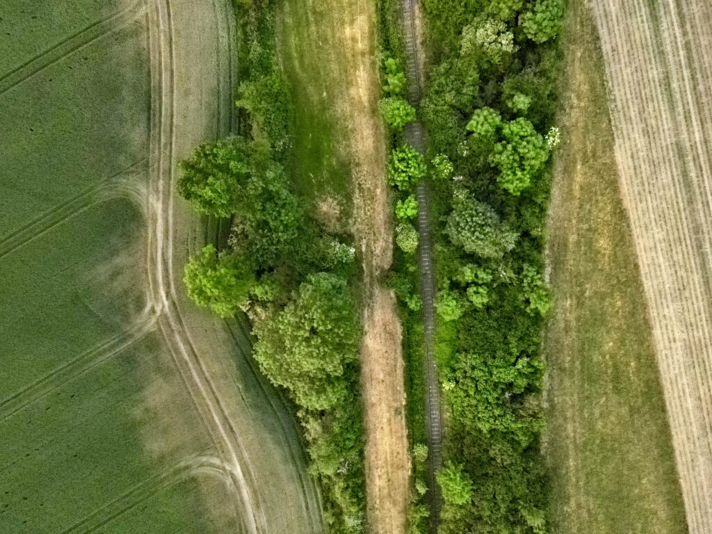
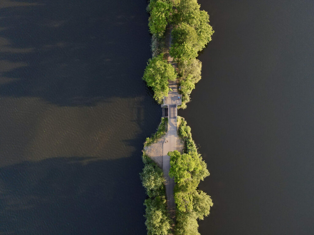
Unmanned aerial vehicles (UAVs), also known as drones, are autonomous or remotely controlled flying units used in various fields such as agriculture, industry, military, rescue operations, and environmental monitoring. Equipped with cameras, sensors, and GPS systems, they enable precise data collection, area surveillance, cargo delivery, and search operations. Due to their versatility and ability to operate in hard-to-reach places, drones are playing an increasingly important role in modern technologies and logistics.
From the perspective of my research, the most valuable for me are multispectral sensors, which allow the determination of vegetation indices. Regarding the use of data provided by cameras mounted on unmanned aerial vehicles for engineering tasks – I gather materials that I process into point clouds, 3D models, or orthophotomaps. Along the way, it’s also possible to capture the beauty of the surrounding world and take many interesting photographs, combining work with passion.